Geology
Ancient landforms create striations of colors, patters, and forms that take the break away.
HOME TO NORTH AMERICA’S LARGEST LIVING SAND DUNES, ANCIENT INLAND SEAS, AND RARE STONES
The landscapes and landforms in Wyoming’s Northern Red Desert tell a dramatic story of Earth’s recent to very ancient processes.
Some of the rarest rocks and minerals in the world are found here in the Leucite Hills, which are eroded remnants of a geologically young (1-3 million years old) volcanic field, mainly composed of a rock type called phlogopite lamproite. These volcanic remnants now form some of the most interesting landforms of the Northern Red Desert: Boar’s Tusk, North and South Table Mountains, and Steamboat Mountain. These volcanic plugs, necks, dikes, flows, and cinder cones erupted violently through the crust from deep sources in the earth’s mantle.
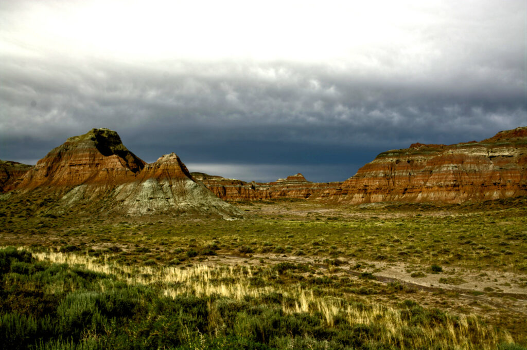
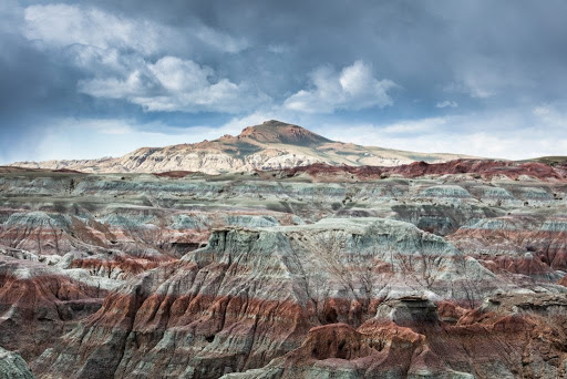
The colorful badlands of the Honeycomb Buttes and Bush Rim are made of sedimentary rocks deposited along the front of the actively-rising Wind River Mountains around 50 million years ago. Oxidation and reduction of iron-rich minerals eroded from the rising mountains, mixed with ash from the Absaroka volcanic field to the north, has created the array of colors and light-colored clays that make up these badlands. The darker gray and brown layers above the colorful badlands are part of the Green River Formation, deposited in the enormous Lake Gosiute and swamps that concentrated dark organic matter.
Continental Peak and the Oregon Buttes are also made of sedimentary rocks that are layered on top of the Green River Formation but similar in origin, deposited in lake and river systems and mixed with ash from volcanic eruptions to the north. These landmarks are located just south of the major fault zones responsible for the uplift of the Wind River Mountains and subsequent down-dropping of the Wind River Basin.
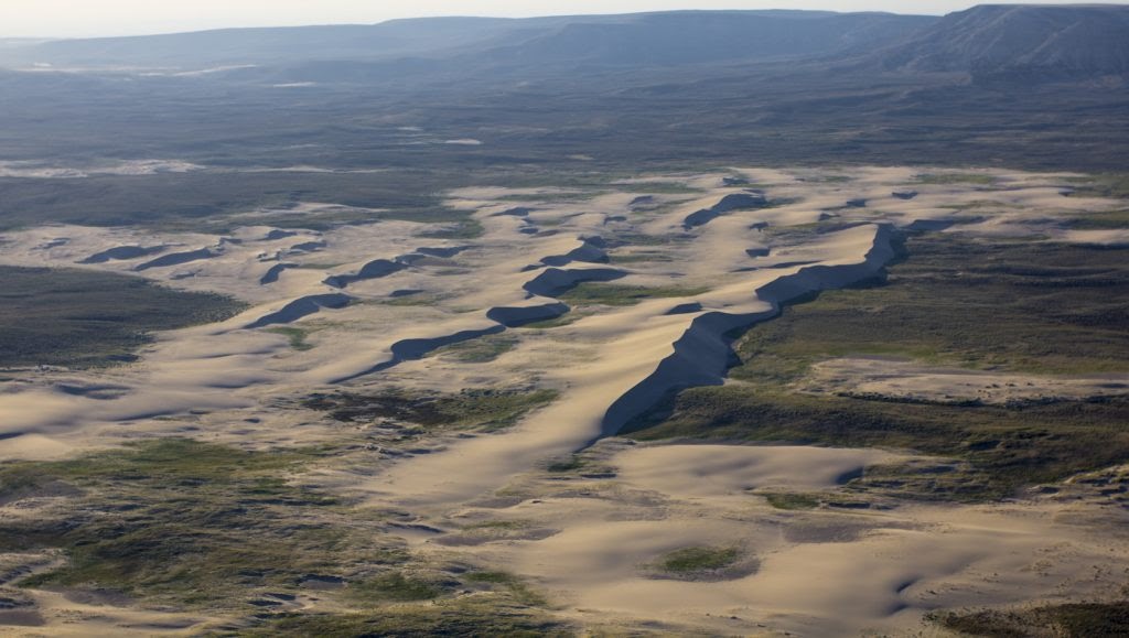
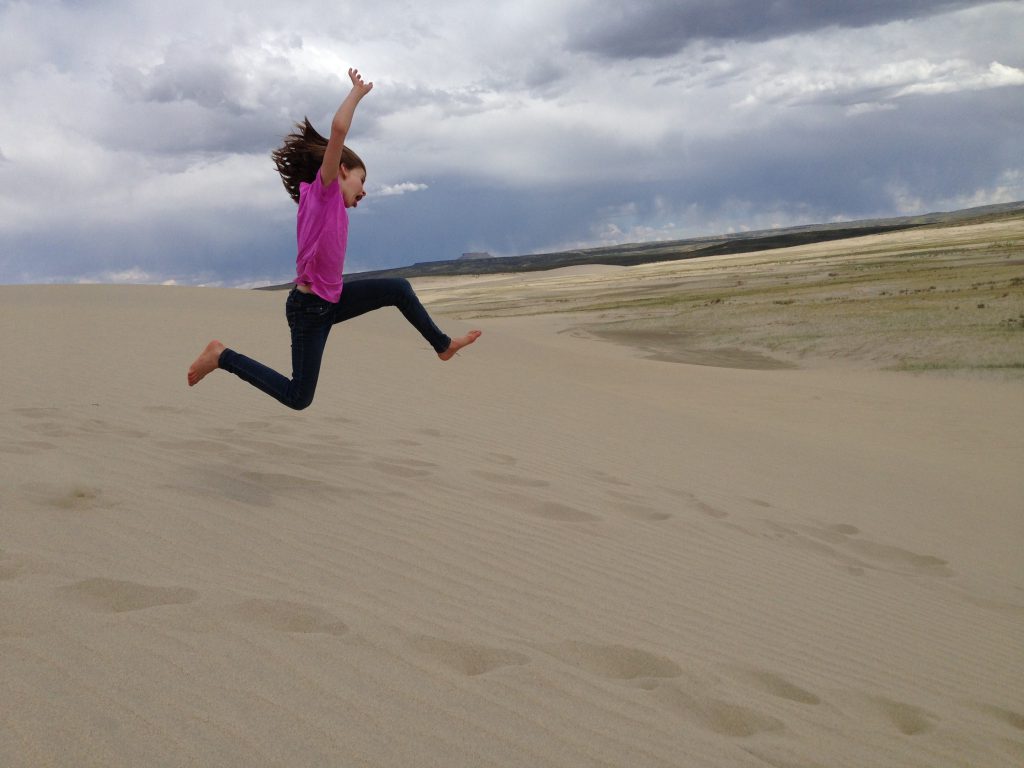
Rising from the southern Red Desert like a mirage, the Killpecker Sand Dunes are the largest living dune field in North America, stretching over 109,000 acres from the Green River Basin 55 miles east to the Great Divide Basin.
Ground from the granite of the Wind River Mountains by glaciers, the sand accumulated on the banks of the Big Sandy and Little Sandy Rivers downstream was blown across the continental divide by westerly winds over thousands of years. Each winter, the sand collects snowmelt and windblown ice deposits, which support the vegetation that stabilizes the dunes. The collected water creates ephemeral oases in the desert that sustain a surprising array of wildlife, from migratory shorebirds to salamanders and freshwater shrimp. The dunes are also a haven for mule deer and a rare desert elk herd. Travelers may hear the sand “sing,” as sand avalanching over the crescent-shaped dunes creates a roaring, booming sound that can last for several minutes.